
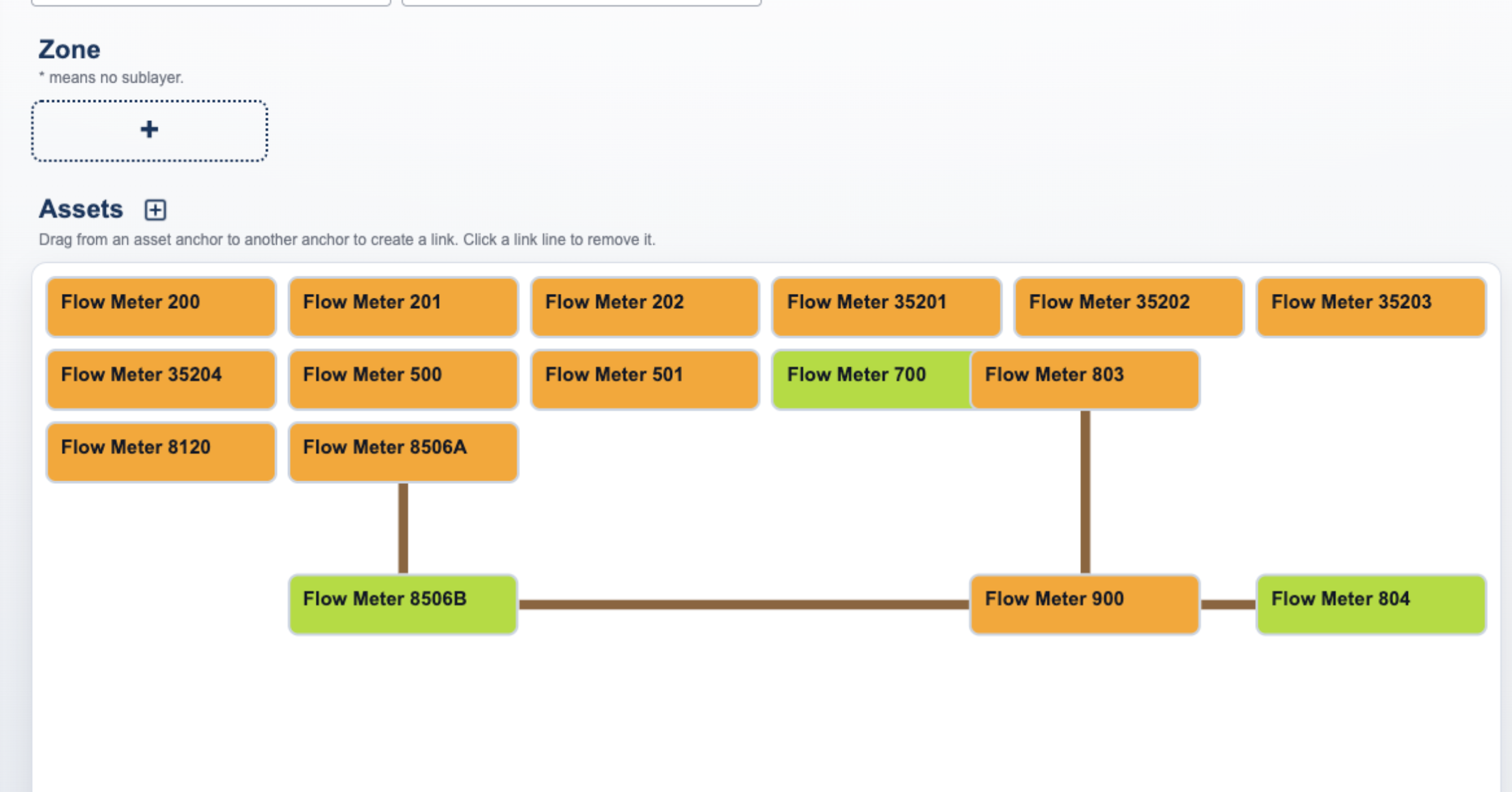
As facilities grow, managing assets becomes increasingly complex. Water and wastewater treatment plants often contain hundreds or even thousands of assets spread across multiple buildings, rooms, and operational areas. While traditional asset lists and GIS maps serve an important purpose, they can become difficult to navigate as facilities expand and assets become more densely concentrated. […]
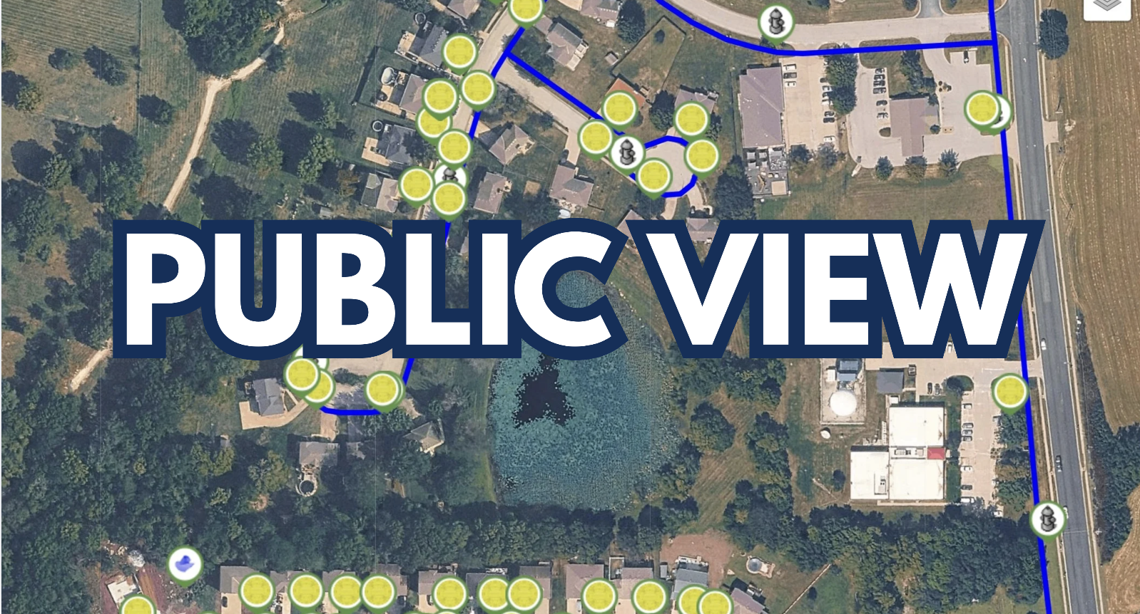
Cities collect and manage a wealth of information every day, but making that information easily accessible to residents can be a challenge. What if your community could explore the information that matters most to them through a single interactive map? With AST Public View, cities can share selected assets and information directly with the public […]
For municipalities and public works teams, accurate measurements are essential for effective planning, maintenance, and asset management. Whether you’re evaluating infrastructure, estimating project costs, or verifying distances in the field, having the right tools can make a significant difference. The Walk Back & Distance Calculator is designed to help teams work more efficiently by providing quick, accurate […]
For decades, public works departments, municipalities, and utility companies have relied on a painstakingly slow system to track their critical infrastructure: paper. Binders full of maintenance records, hand-drawn maps, and filing cabinets stuffed with inspection reports have long been the standard. But when a water main breaks or a valve needs immediate shutting off, shuffling […]

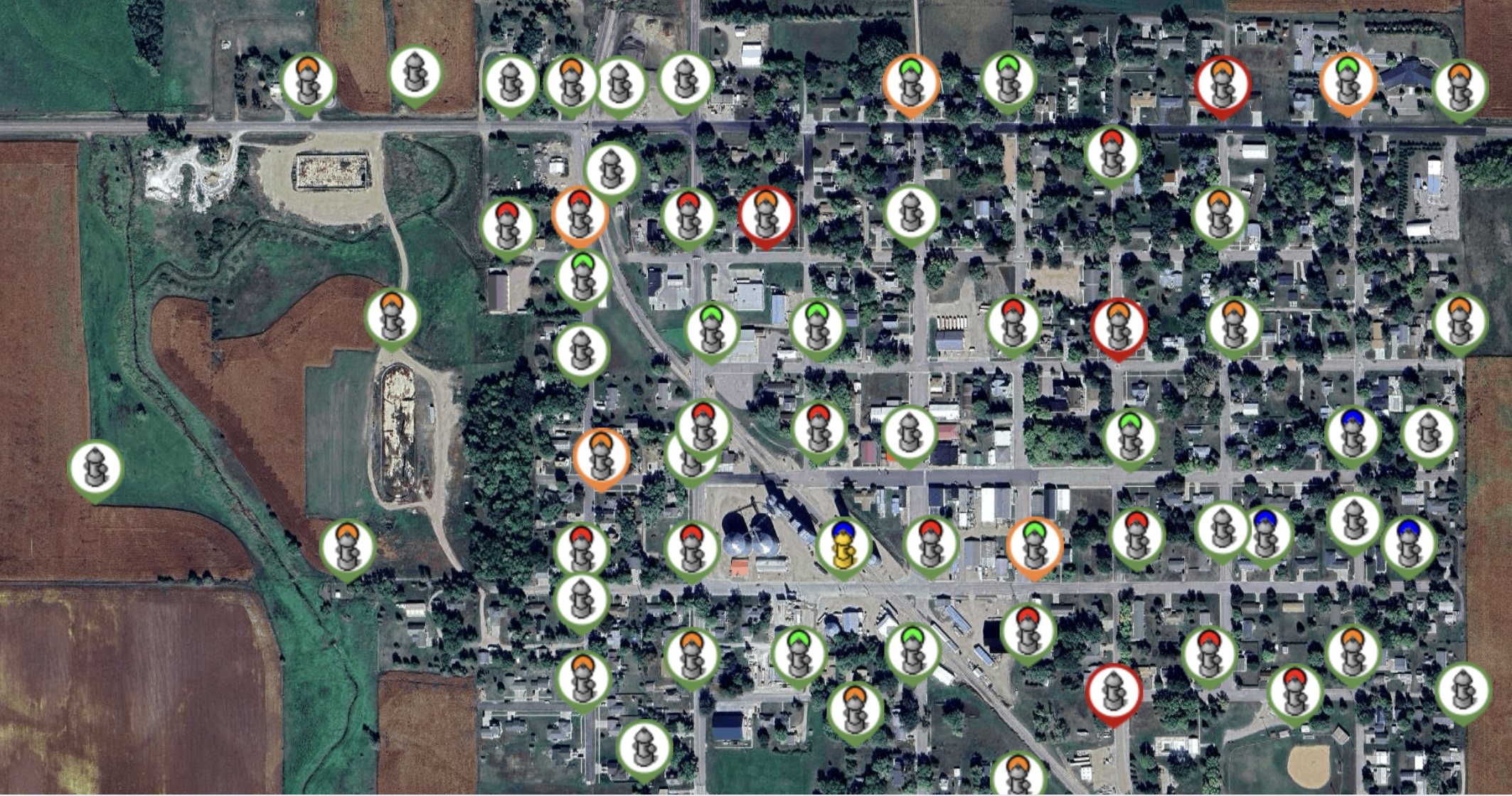
We pass by them every day without a second thought. Red, stationary, and reliably anchored to nearly every street corner in America, fire hydrants are the unsung heroes of public safety. We expect them to work flawlessly 100% of the time, but the reality is that accidents, freezing temperatures, vandalism, and water theft constantly compromise […]