
Improve Accuracy and Efficiency with the Walk Back & Distance Calculator within AST™
For municipalities and public works teams, accurate measurements are essential for effective planning, maintenance, and asset management. Whether you’re evaluating infrastructure, estimating project costs, or verifying distances in the field, having the right tools can make a significant difference.
The Walk Back & Distance Calculator is designed to help teams work more efficiently by providing quick, accurate measurement capabilities directly within the map interface. By eliminating manual calculations and reducing guesswork, the tool helps staff make informed decisions with greater confidence.
What Is the Walk Back & Distance Calculator?
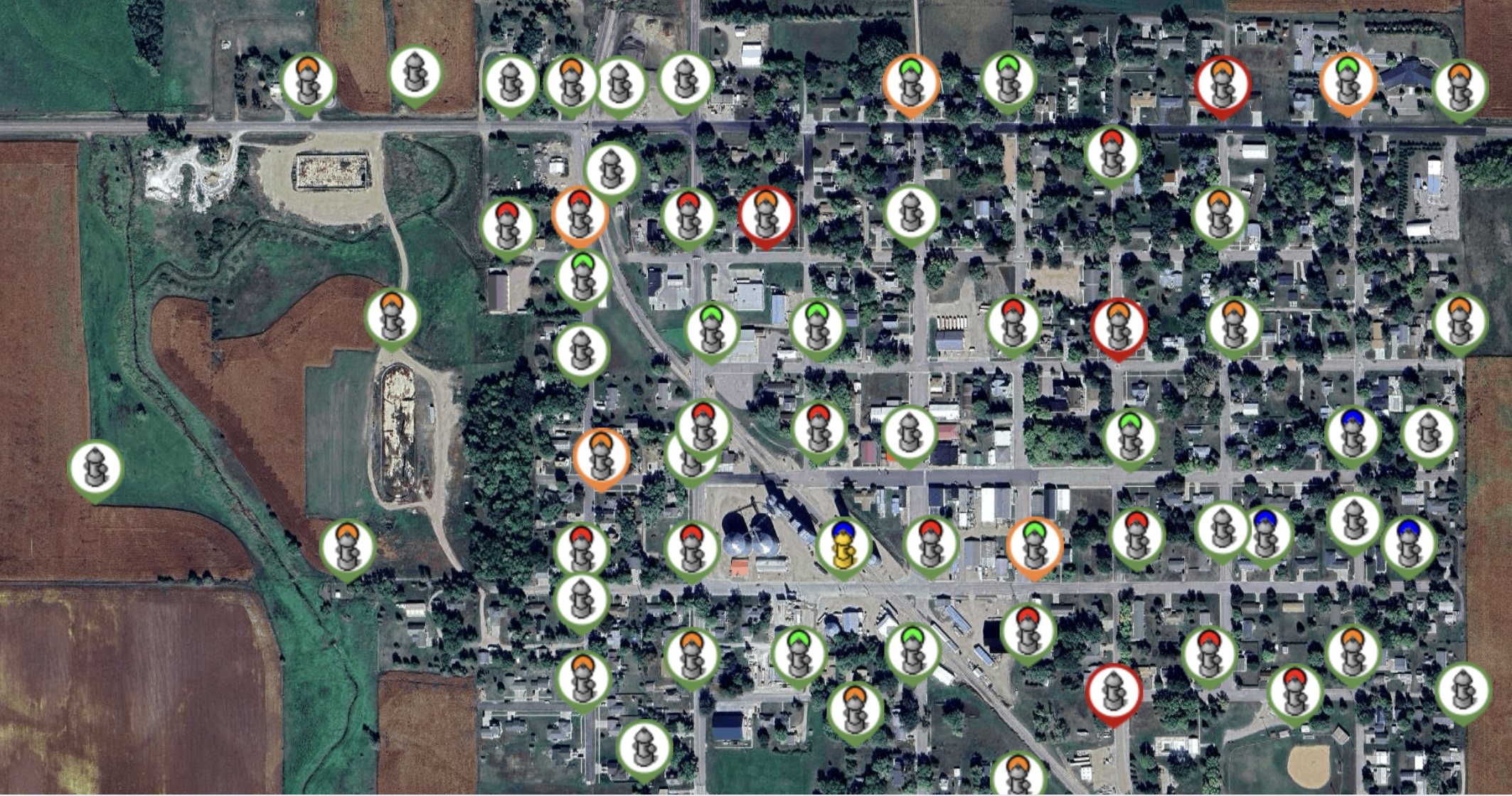
The Walk Back & Distance Calculator is a mapping tool that enables users to measure distances and areas with just a few clicks. It provides real-time visual feedback on the map, making it easier to understand spatial relationships and gather accurate data for planning and operational needs.
With the tool, users can:
- Measure distances between assets
- Calculate the length of a route or path
- Determine the area of a specific location or surface
- Customize measurement units to align with project requirements
- View measurements directly on the map as they are created
These capabilities make it a valuable resource for teams responsible for infrastructure management, inspections, maintenance planning, and capital improvement projects.
How to Use the Tool
Getting started with the Walk Back & Distance Calculator is straightforward:
- Open the Views dropdown menu.
- Select Walk Back & Distance Calculator.
- Choose your preferred measurement units.
- Select one of the available tools:
- Measure Polyline to calculate distances along a route or between locations.
- Measure Area to calculate the size of a surface or designated area.
- Draw directly on the map to see measurements update in real time.
The intuitive workflow allows both office and field personnel to quickly gather the information they need without relying on separate calculation tools.
Why Accurate Measurements Matter
Accurate spatial measurements play an important role in municipal operations. From project planning to reporting, reliable data helps teams work more efficiently and make better decisions.
Using the Walk Back & Distance Calculator can help municipalities:
Improve Project Accuracy
Precise distance and area calculations support better project estimates, planning, and design decisions.
Save Time in the Field
Real-time measurements reduce the need for manual calculations and additional site visits.
Streamline Reporting
Measurement data can be quickly referenced for documentation, budgeting, and stakeholder communication.
Support Better Decision-Making
When measurements are visible directly on the map, teams gain immediate insights that help guide maintenance, planning, and operational activities.
Turning Data into Action
The ability to measure distances and areas directly within your mapping environment provides a faster and more efficient way to gather critical information. By giving users immediate access to accurate measurements, the Walk Back & Distance Calculator helps municipalities improve workflows, reduce errors, and make more informed decisions about their infrastructure and assets.
Whether you’re planning a new project, managing existing assets, or conducting field inspections, this tool provides the information you need, right when you need it.
Ready to bring your city’s asset management into the 21st century? Learn more about AST™ and request a demonstration by visiting Silversmith Data’s official website.
